Mother’s Day Heat Wave: Mid-80s Today Before Monday’s Cold Front
Substack
May 10, 2026, 3:37 PM
Mother’s Day Heat Wave: Mid-80s Today Before Monday’s Cold Front

This afternoon will be a treat for Mother’s Day celebrations. After some early morning cloud cover across the southern parts of our area, things are clearing out beautifully. We are looking at a warm, mostly sunny day with temperatures climbing comfortably into the mid-80s—perfect for a brunch outdoors or a walk in the park.

However, keep an eye on the sky toward the evening. As a cold front approaches from the northwest, clouds will begin to build back in. While most of the region will stay dry through tonight, those of you in the far north and northwest might see a few stray showers popping up late this afternoon or early this evening.

Monday: A Return to Reality. The start of the workweek brings a noticeable shift. That cold front moves through overnight, bringing widespread showers starting tomorrow morning in the northwest and central areas before sliding southeast in the afternoon.

If you’ve been tracking the models, there’s been some debate on just how much rain we’ll get. Some data suggests the system is drying out, but high-resolution guidance still points toward a damp Monday for most of us.

That said, don’t expect a “drought-buster”—most spots will likely see between a tenth and a quarter-inch of rain. It will also be significantly cooler, with highs struggling to reach the mid-60s (though the far south may cling to the low 70s).
Looking Ahead: The Mid-Week Outlook
Tuesday: We stay on the cooler side with highs around 70 inland. If you’re near the coast, an onshore breeze will keep things in the 60s.
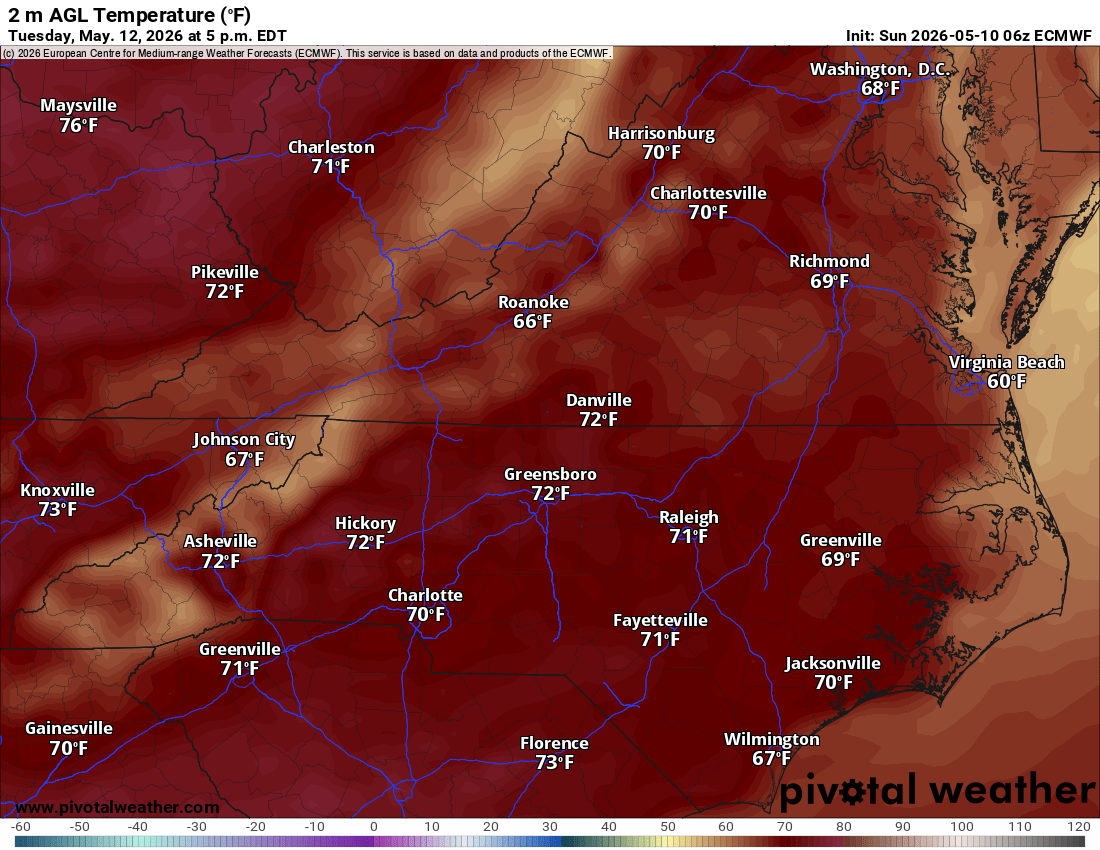
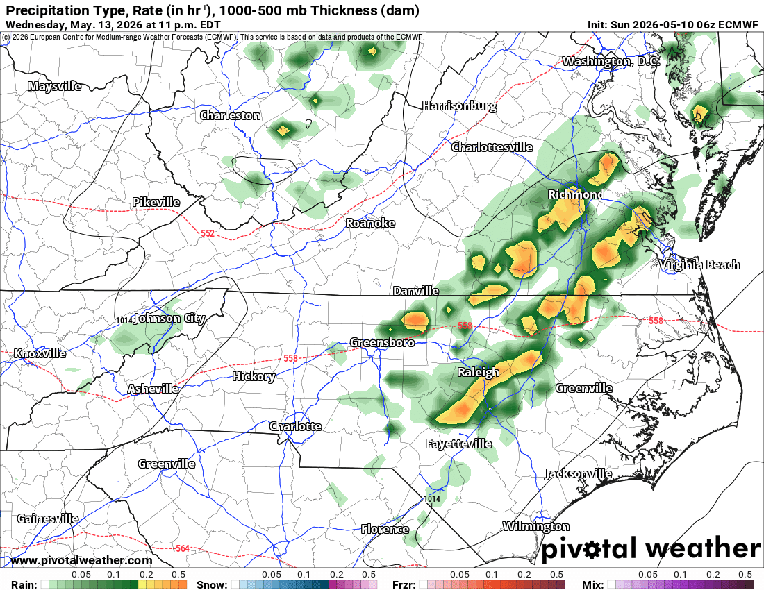
Wednesday & Thursday: Temperatures return to seasonable norms. Our next weather maker arrives late Wednesday night into Thursday. While the “dynamics” of this system look strong, the overnight timing means we lack the heat-driven instability needed for major thunderstorms. For now, it looks like another round of light rain and perhaps a few rumbles of thunder.
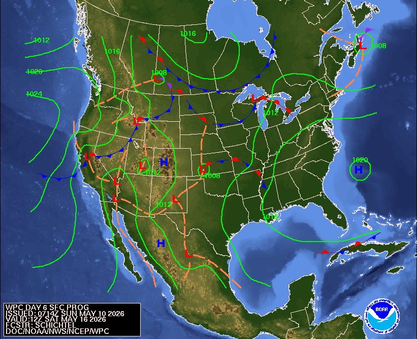
The Weekend Sneak Peek: High pressure builds back in to end the work week, leading to a mostly dry and pleasant weekend with temperatures potentially climbing back above average.


A Note for Boaters & Aviators: If you’re heading out on the water today, enjoy the calm; sub-Small Craft Advisory conditions prevail with light southwest winds. However, Monday will be a different story. Northerly winds will surge behind the front, gusting up to 25 knots in the Bay and pushing seas up to 5–6 feet off the coast. Small Craft Advisories have been issued starting early Monday morning.

For those flying, VFR conditions hold today, but expect lower ceilings and potential flight restrictions tomorrow as the rain moves through.
Enjoy the sunshine while it lasts this afternoon, and Happy Mother’s Day to all the moms out there!

Comments
(0)No observations yet. Be the first to share!